Community post
21 December 2023

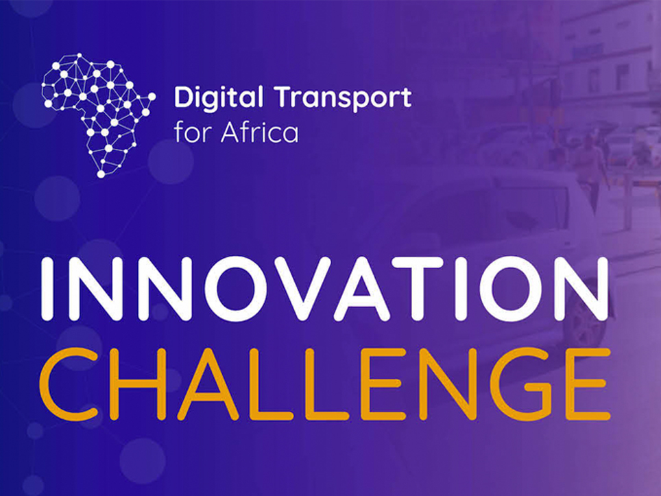
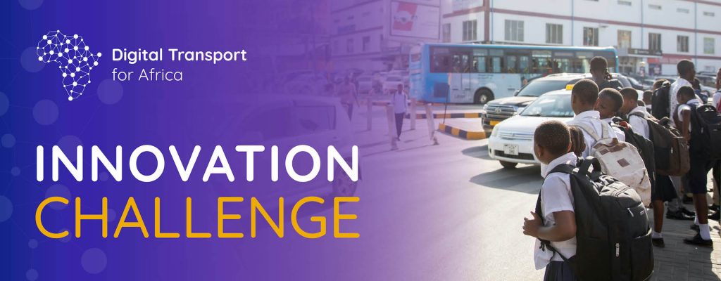
DT4A launched the DT4A Innovation Challenge in December 2021 to spotlight and award innovative urban mobility mapping initiatives. The first four winners of the DT4A Innovation […]
21 December 2023
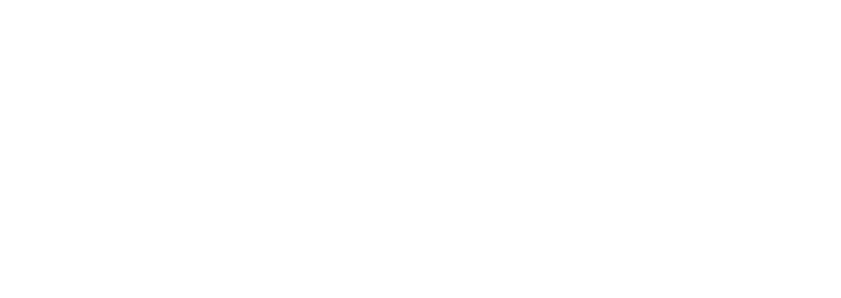
Transport Decarbonisation, a side event organized by Climate Compatible Growth (CCG) during COP28 in Dubai on December 4, 2023, brought together policymakers, thought leaders, and transport […]
21 December 2023
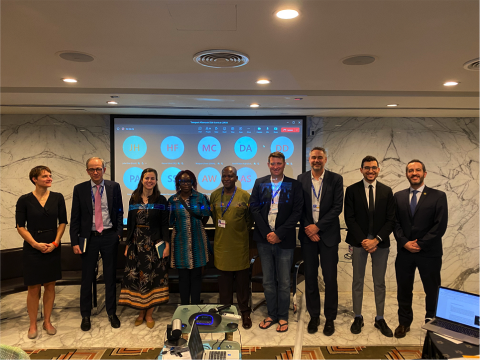
DigitalTransport4Africa (DT4A), in partnership with the Transformative Urban Mobility Initiative (TUMI/GIZ), led a session titled “Unlocking the Potential of Sustainable Mobility Data in Africa: A Workshop […]
19 December 2023
Over 50% of all transport-related emissions come from high-income countries, where people are more likely to own and depend on personal vehicles. Meanwhile, less than 1% is […]
11 November 2023
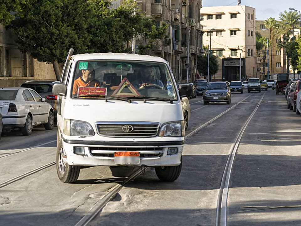
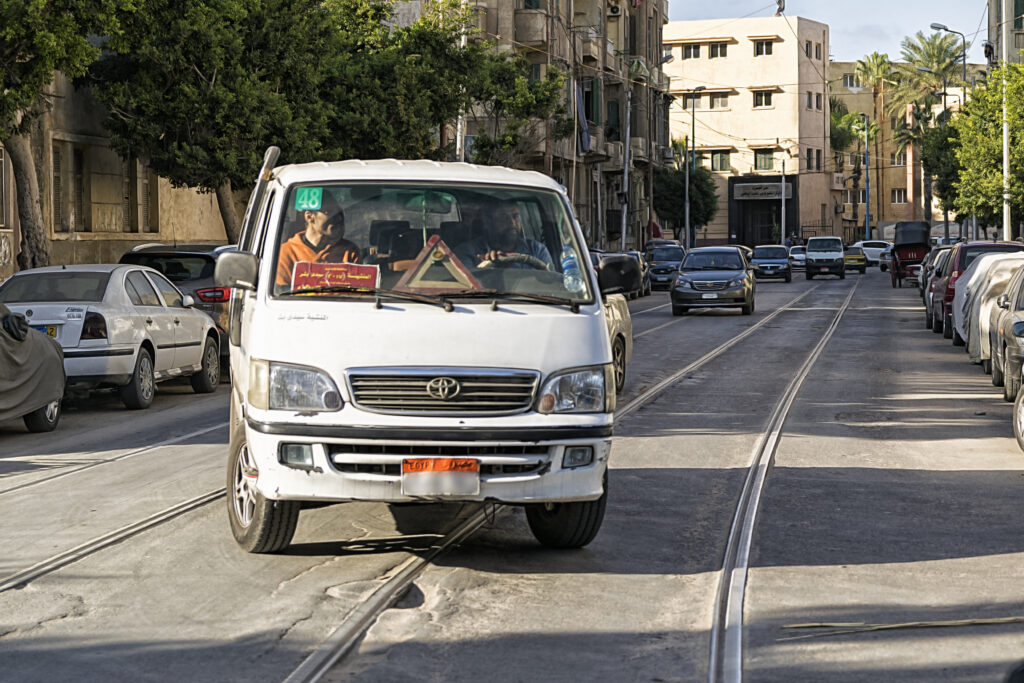
Microbuses and private cars sharing Alexandria’s tram pathway, Egypt. Photo: Wael Kenawy/Wikimedia Commons As cities across Africa experience rapid growth and increased demand for mobility, there […]
17 October 2023
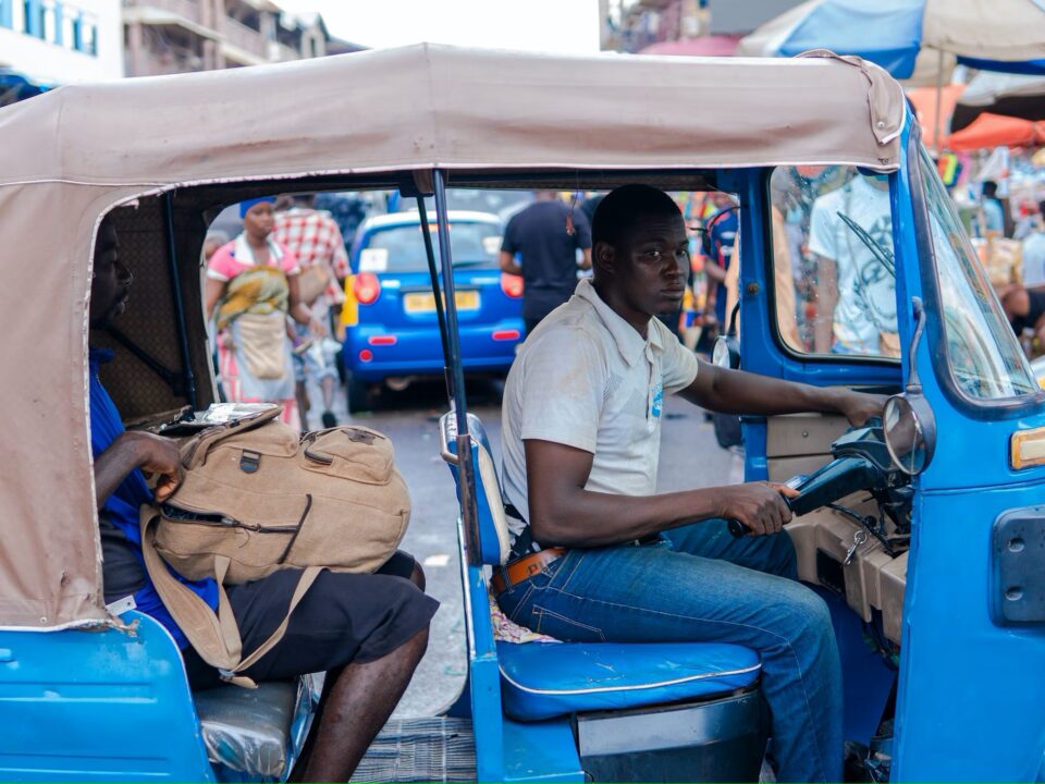
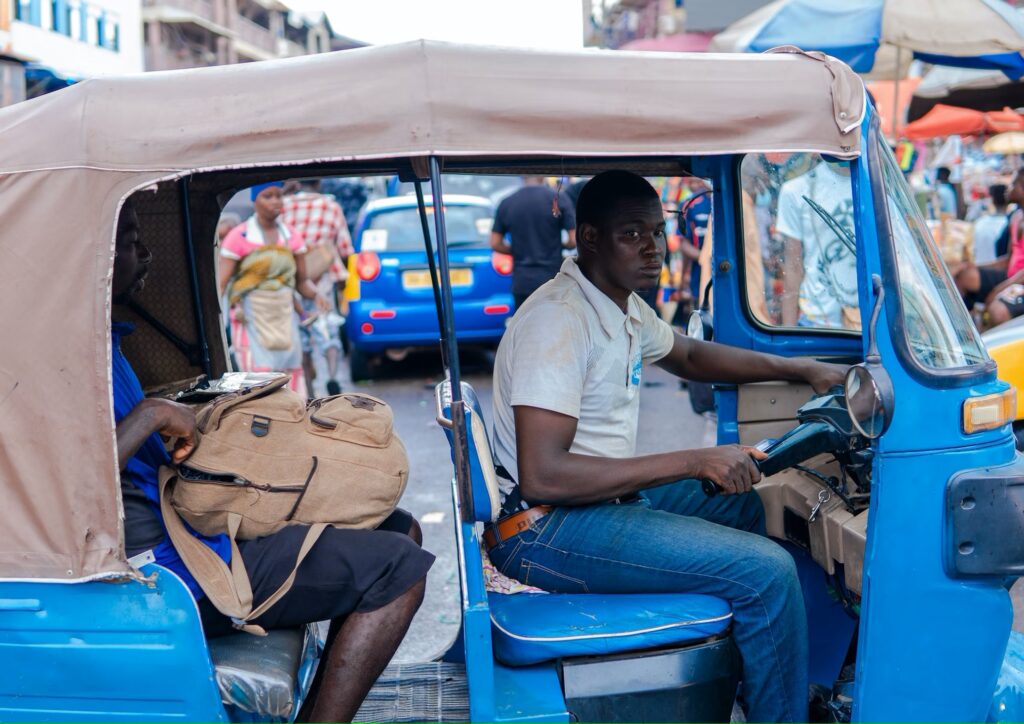
A driver navigates traffic in Kumasi, Ghana. DT4A’s “Beyond Mapping” project focuses on integrating transit data to improve management of the city’s informal transport networks. Photo: […]
28 August 2023
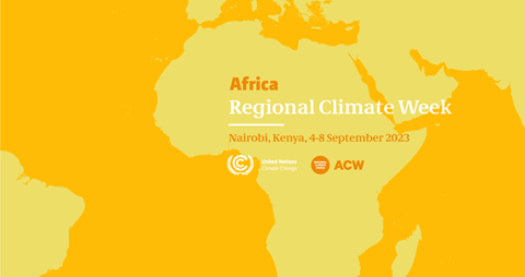
We are excited to announce that the upcoming Africa Climate Summit and Africa Climate Week, scheduled from 4–9 September 2023 in Nairobi, Kenya, will feature participation […]
22 August 2023
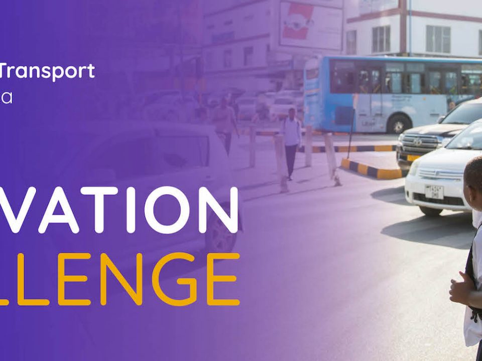
DT4A launched the DT4A Innovation Challenge in December 2021 to spotlight and award innovative urban mobility mapping initiatives. The first four winners of the DT4A Innovation […]
22 August 2023
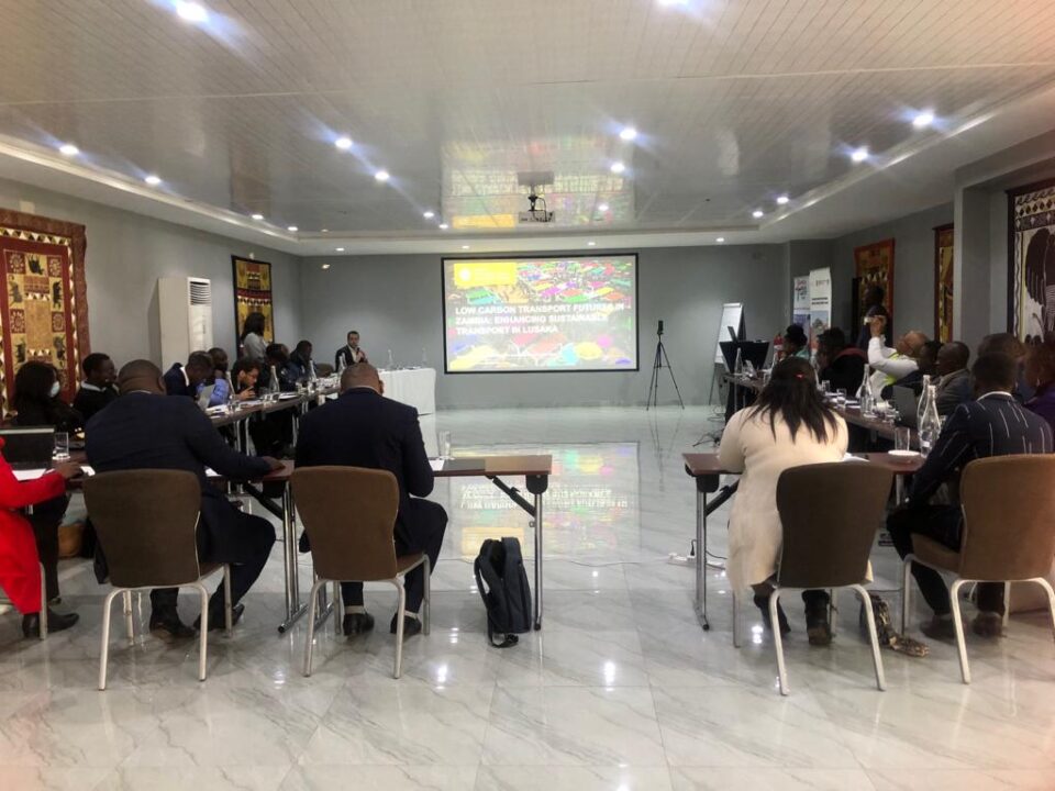
The kick-off event on Low-Carbon Transport Futures in Zambia, held July 11, 2023, saw the participation of government institutions, transport stakeholders and industry professionals. The event […]