Community post
19 February 2022
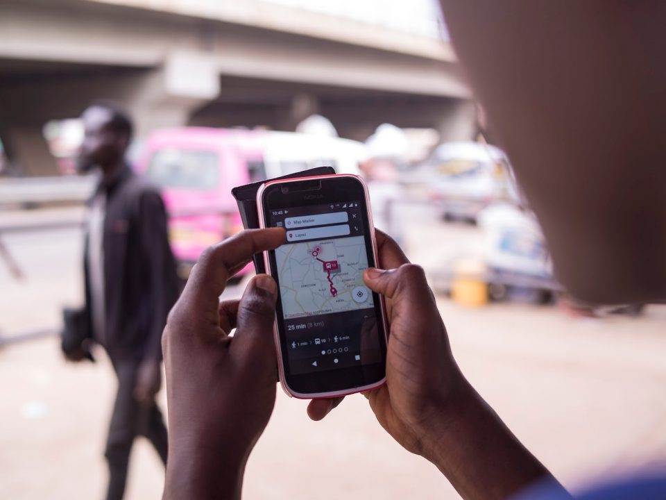
COURSE SUMMARY The rise of GPS-enabled cell phones and low-cost sensors- has led to the creation of new forms of digital data that are invaluable for […]
10 August 2021
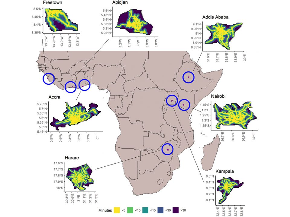
Why is that important? Accessibility to collective transport, together with other important system characteristics such as network coverage and frequency, is a crucial driver of modal […]
17 May 2021

At the beginning of 2021, MobilityData and Fabrique des Mobilités took a deep dive into existing GTFS projects across African cities. The goal was to understand […]
26 April 2021
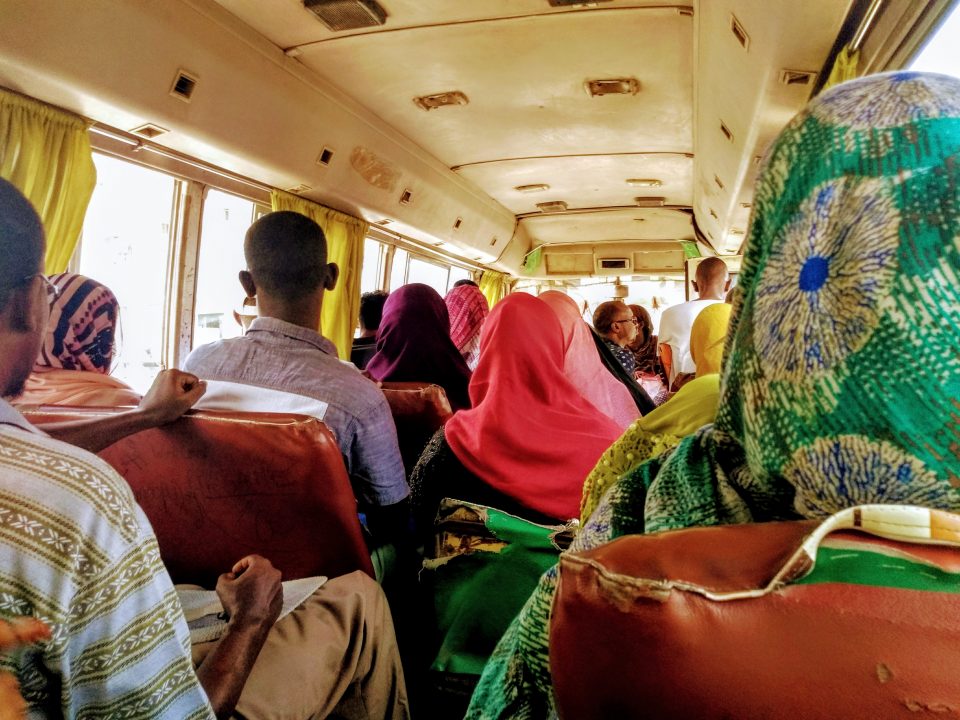
Minibus in Djibouti. Photo courtesy of Tamara Kerzhner/World Bank. On an unpaved road towards the outskirts of sprawling Lubumbashi, DRC, the minibus we were riding stopped […]
14 December 2020
Last month WRI and Trufi Association had a virtual chat about the role of open public transport data and what journey planner apps mean for the […]
7 December 2020

People walking in Dar es Salaam. Photo by ITDP-Africa Pedestrians First is a new set of tools to measure walkability in any city on earth. These […]
30 June 2020

COVID-19 has revealed how open data, that can be freely used and distributed by anyone, is critical for the recovery of our health and cities. At the […]
21 April 2020
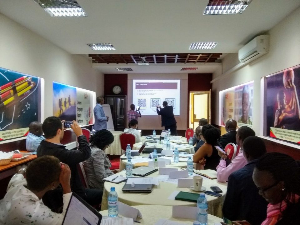
Transport officials from Kampala, Addis Ababa and Accra exchange knowledge on what makes a mapping project successful. Source: WRI. Transit data are essential. Data help us […]
7 April 2020

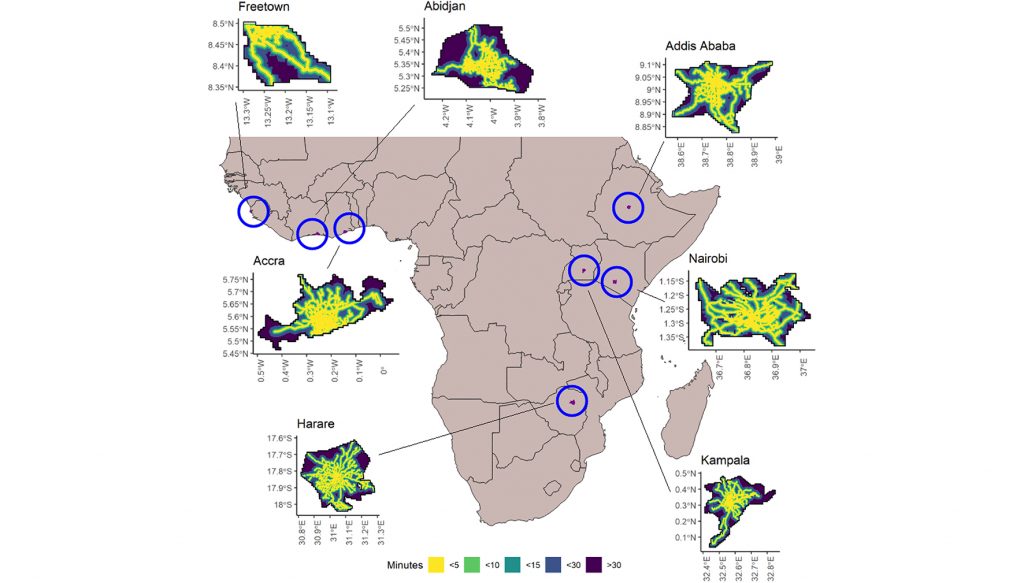
Africa is experiencing urban growth of momentous proportions. As part of this growth the continent needs to develop and build infrastructure and transport networks to serve […]