
paratransit
19 December 2023

Over 50% of all transport-related emissions come from high-income countries, where people are more likely to own and depend on personal vehicles. Meanwhile, less than 1% is […]
11 November 2023
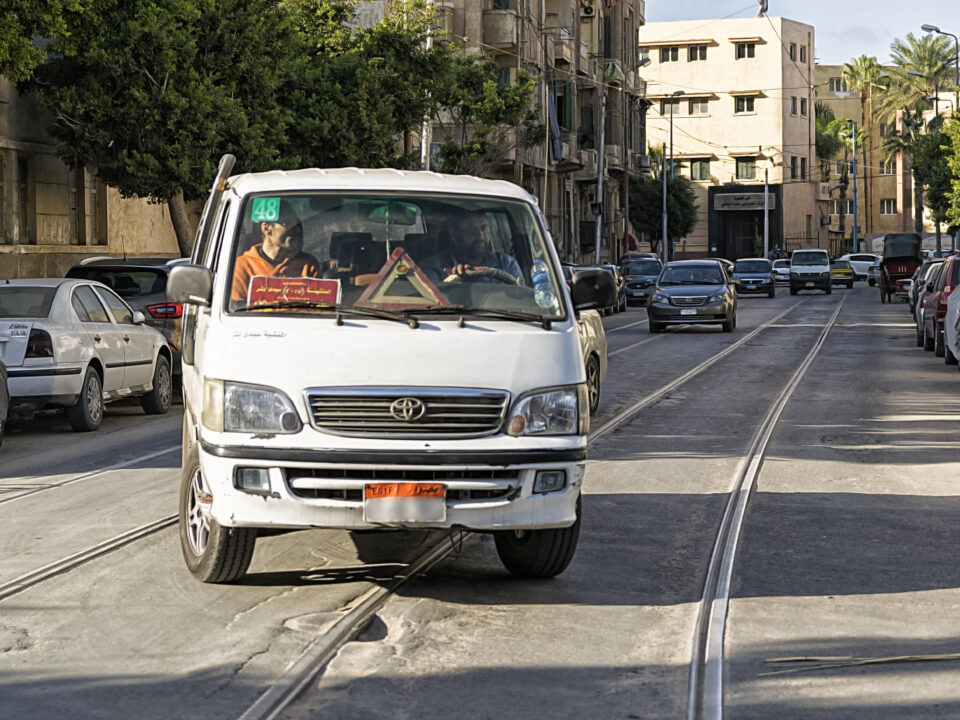
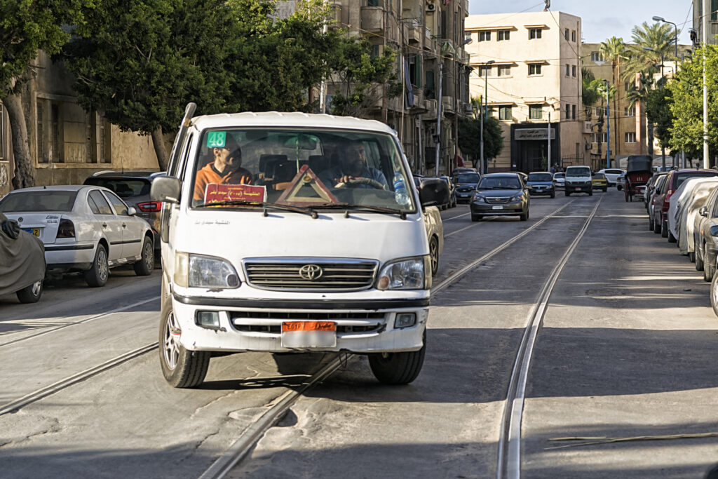
Microbuses and private cars sharing Alexandria’s tram pathway, Egypt. Photo: Wael Kenawy/Wikimedia Commons As cities across Africa experience rapid growth and increased demand for mobility, there […]
17 October 2023

A driver navigates traffic in Kumasi, Ghana. DT4A’s “Beyond Mapping” project focuses on integrating transit data to improve management of the city’s informal transport networks. Photo: […]
6 January 2020
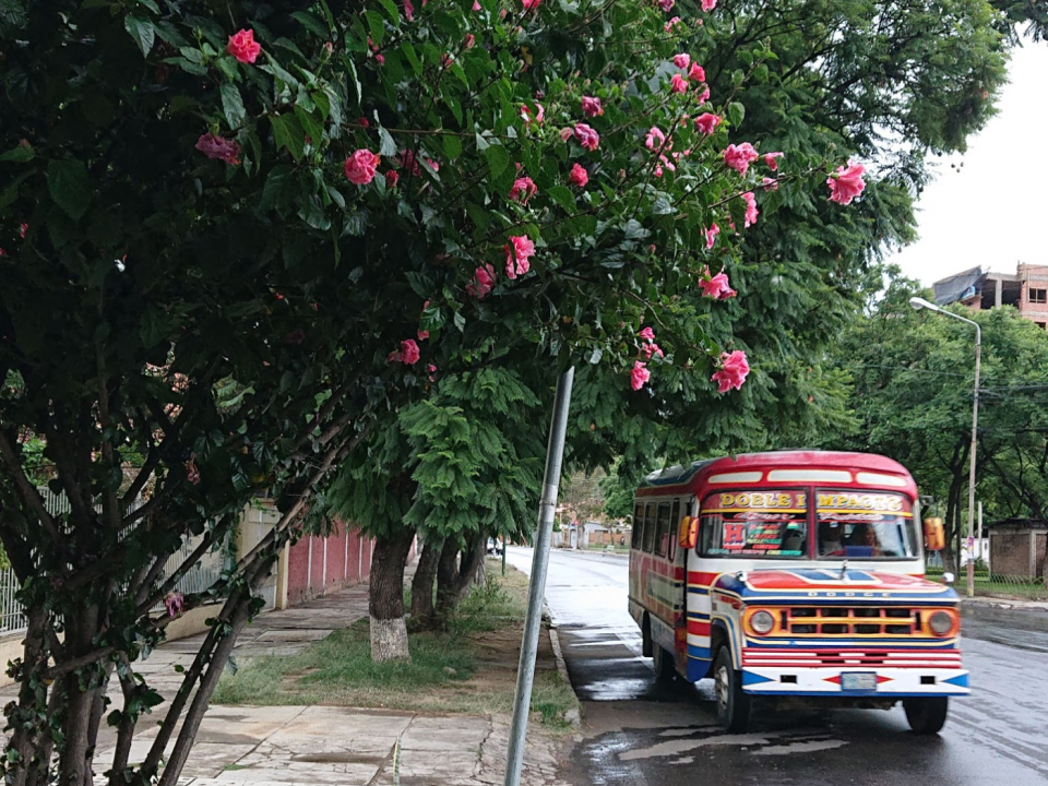
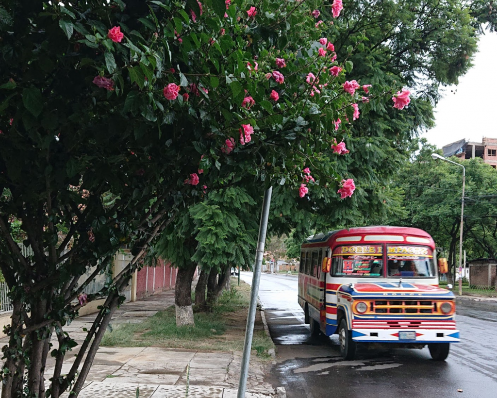
The vibrantly coloured Trufis in Cochabamba, Bolivia serve daily commuters. Most cities around the world run formal and informal public transport systems in parallel. An illustrative […]
4 June 2019

DT4A’s Travis Fried and Iman Abubaker released a new article on the importance of mapping paratransit systems in Sub-Saharan African cities. According to the authors: Although […]
27 March 2019
By Lily Bui and Griffin Kantz, 3/29/2019 When you first start out collecting, analyzing, editing, and visualizing GTFS data, the landscape of available tools can be […]
15 February 2019

WRI’s Celal Tolga Imamoglu writes a fascinating piece on the complicated, and yet essential, role paratransit plays for African city planners and the riders who rely […]