Community post
22 August 2023
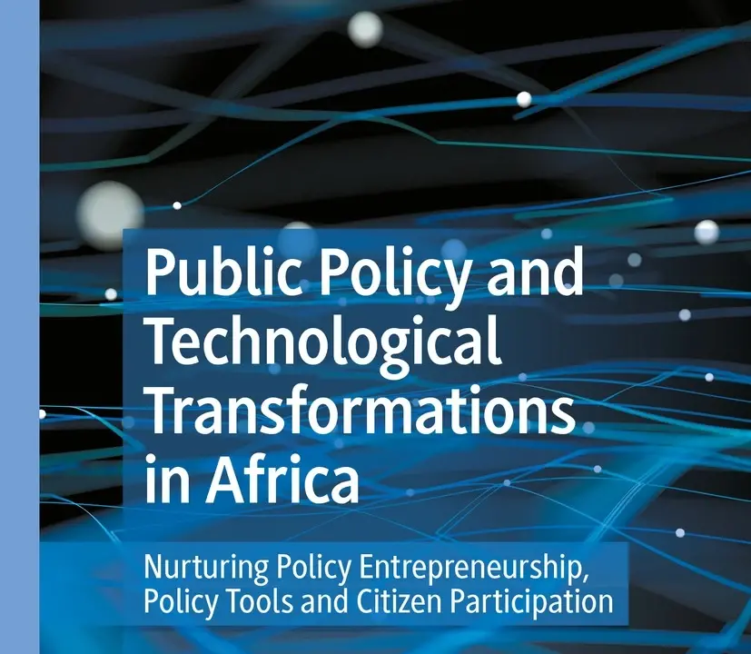
Discover the transformative power of digital technologies and data commons in Africa through a groundbreaking chapter authored by Jacqueline M. Klopp, from Columbia University and Agraw […]
22 August 2023
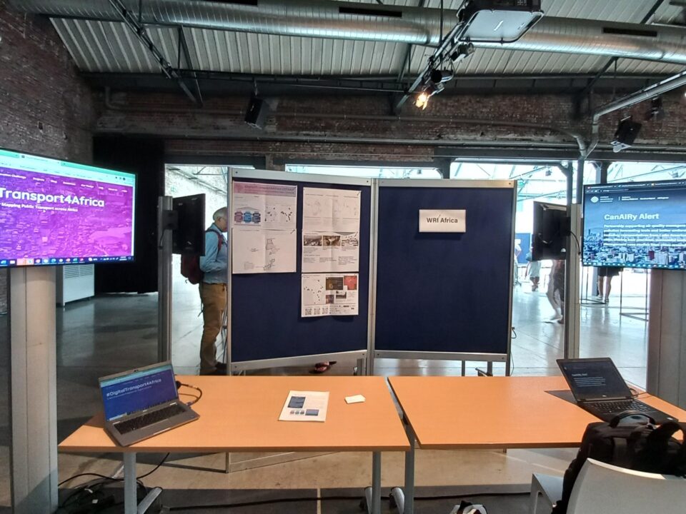
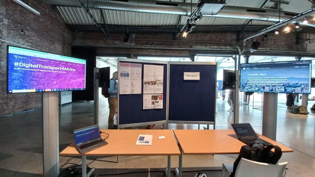
DT4A’s booth at the data and research marketplace Organized by WRI, Norway’s International Climate and Forest Initiative and Bezos Earth Fund, the Land and Carbon Lab’s […]
26 July 2023
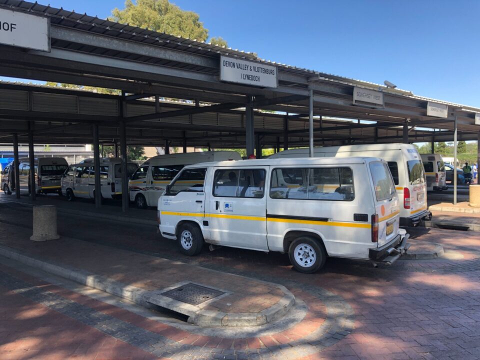
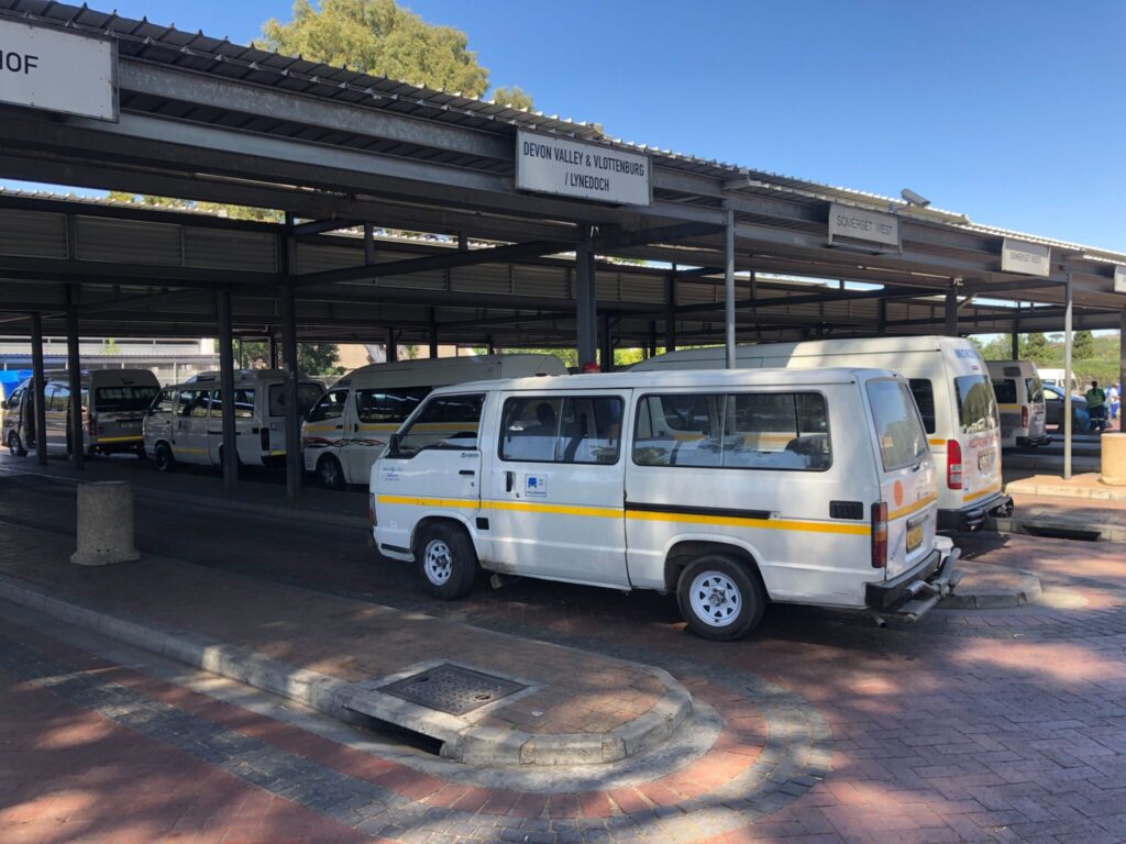
Minibus taxis, pictured above waiting at Bergzicht taxi rank, are the only functioning public transport system in Stellenbosch, South Africa. Photo: GoMetro The minibus taxi (MBT) industry is the […]
10 April 2023
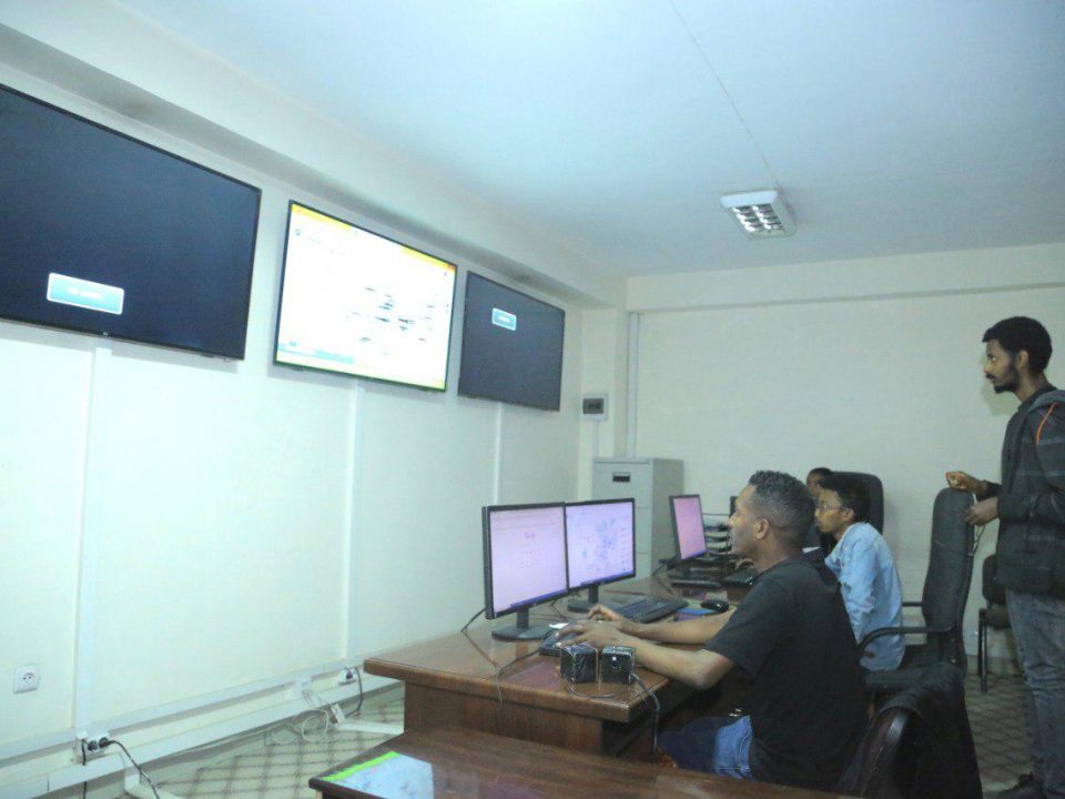
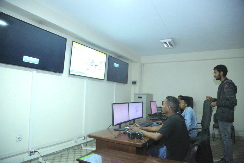
DT4A: Could you please introduce yourself and tell us a bit about your journey and what led to your current position working as a maintenance technician/system […]
6 March 2023
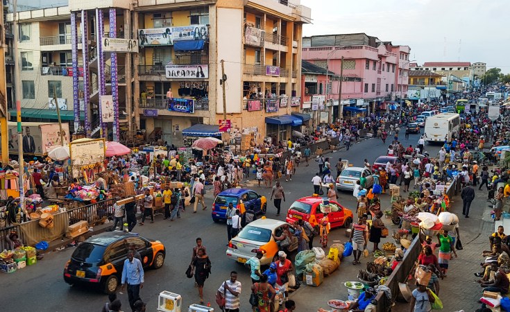
*Photo Source: https://allafrica.com/stories/202302210004.html The Customs Division of the Ghana Revenue Authority estimates that used vehicles constitute some 80% of the about 100,000 vehicles imported into […]
6 October 2022
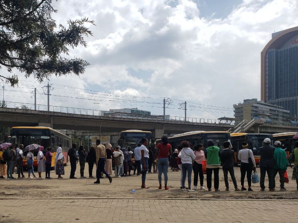
Commuters waiting for the next bus desperately around Meskel Square – the city centre of Addis Ababa, Ethiopia. Photo by Agraw Ali Long queues for […]
5 August 2022
Route signs waiting to be placed on a vehicle in Kampala Old Taxi Park. Photo by Tamara Kerzhner In 2015, the chairman of a Kampala […]
1 June 2022
“If you want to plan for all the facts, you’ll never end up going anywhere” In Cape Town, South Africa, as in many African cities, planning […]
17 May 2022
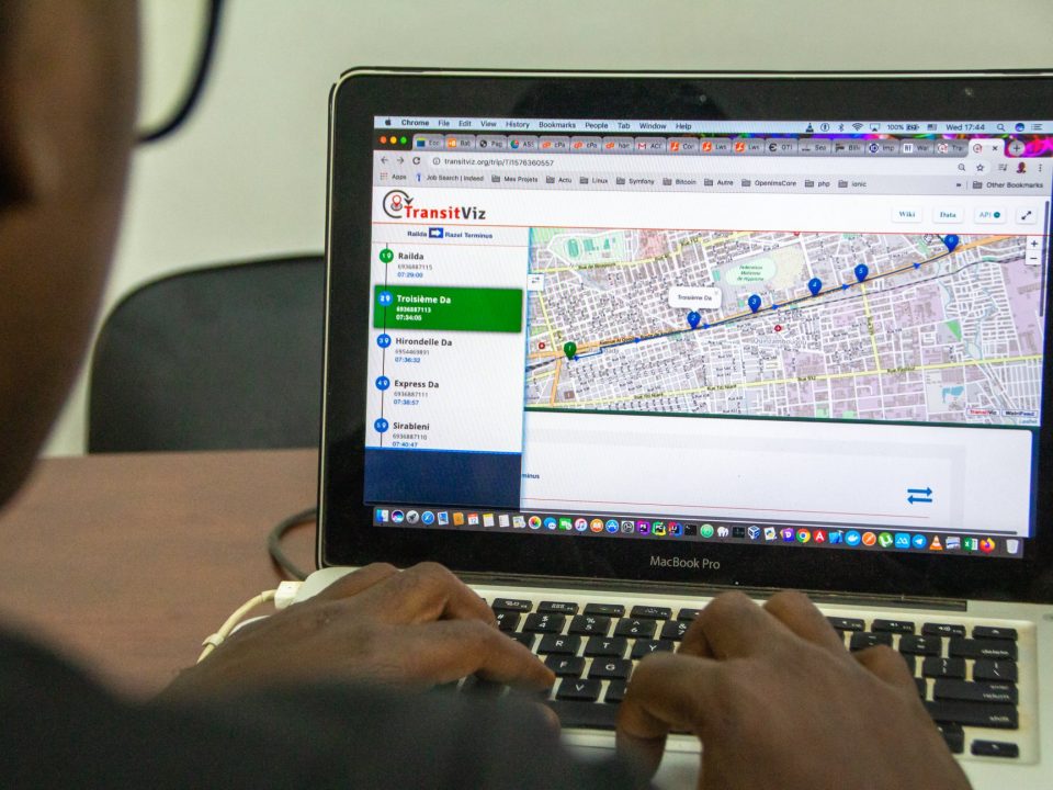
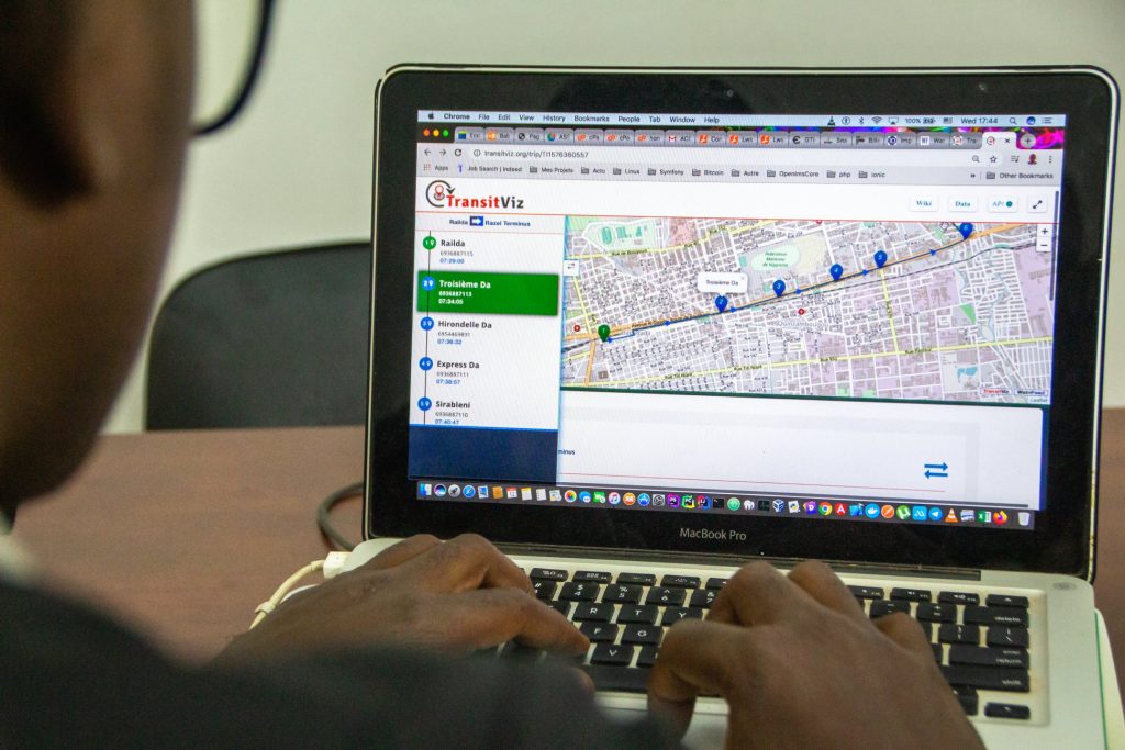
« Create, update and visualize your GTFS datasets easily and collaboratively with WatriFeed » GTFS Standard The standardization of transport data in Africa and particularly in […]