May 22nd – DT4A at ITF in Leipzig
20 May 2019
Conveyal Analysis: A Powerful Tool Now at Your Fingertips!
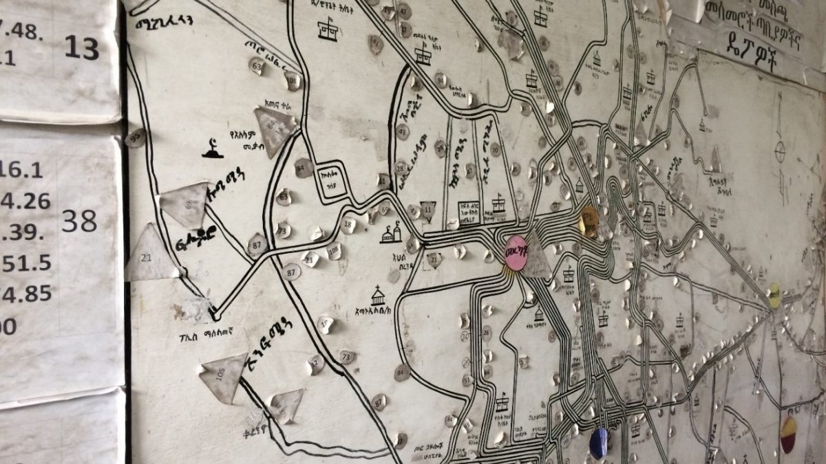
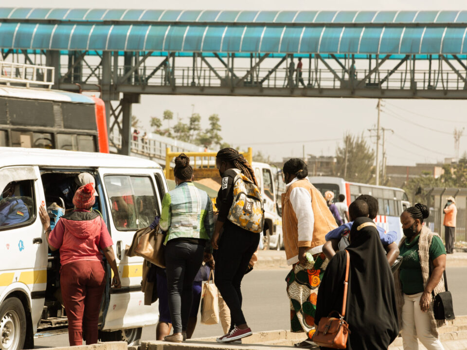
11 July 2019DT4A’s Travis Fried and Iman Abubaker released a new article on the importance of mapping paratransit systems in Sub-Saharan African cities. According to the authors:
Although paratransit operators provide a much-needed service to riders at virtually no direct cost to the city, they also bring a host of challenges to African cities. Paratransit vehicles are a leading cause of pollution, they can be unpredictable in price and service, and are occasionally unsafe. As the region grows – and 90% of urban growth between now and 2050 will be concentrated in Africa and Asia – public authorities have announced intentions to reform, phase out, or flat-out ban paratransit in favor of more “modern,” high-capacity forms of public transit, like bus rapid transit (BRT). But what if paratransit could be improved, rather than replaced? What if it complemented, rather than competed with other public transit? There is a growing chorus of organizations in Nairobi, Gaborone, Accra and elsewhere that see a wave of technologies like GPS-enabled smartphones and open, crowdsourced databases as opportunities to bring innovative, data-driven solutions to improving paratransit. Through the power of data they hope to bring paratransit out of the shadows, upgrade mobility services, and combine the ingenuity of paratransit entrepreneurs with the volume of public mass transit.
Read more on WRI’s City Fix blog.


