Abidjan to Join the Open Data Community with Mapping Project
26 August 2019
Join us at Mobilize! Kampala
19 November 2019
Categories
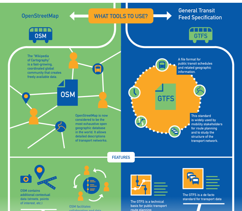
In the course of our discussions with the Digital Transport for Africa community and other actors mapping informal transport systems in Africa and Latin America, we have identified two data creation methodologies that we suggest you discover here.
🇫🇷 Cette infographie existe également en français
🇪🇸 Esta infografía también está disponible en español
🇩🇪 Diese Infografik gibt es auch in englischer Sprache
And you, what is your favorite methodology for mapping transit data?
Florian Lainez
Mobility Open Data.
Proudly crafted by the OpenStreetMap community.
Jungle Bus enabled the creation of mobility open data with OpenStreetMap and GTFS over Accra (Ghana) Abidjan (Ivory Coast) and more.
#OpenStreetMap #OpenData #MobilityData #Crowdsourcing
https://junglebus.io
Related posts
30 May 2024
30 May 2024


